
Greetings and salutations cavedwellers.

Before I begin, let me just say that Mrs. Caveman is the best wife in the world. Today's post comes to you because of her generosity. She gave me the dough to take the train for this past trip and it was greatly appreciated!
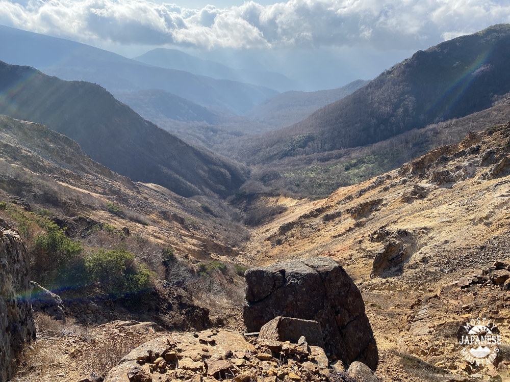
Yesterday, I climbed another one of the 100 Famous Mountains. Mt. Nasu is in Nasu (city), Tochigi (prefecture). Nasu is at the extreme northern part of the Kanto Plain, bordering the Tohoku ("East"-"North") region of Japan. Actually, I entered Tohoku on this hike because I stepped over the prefectural boundary into Fukushima for just a bit.
One reason that I put off this trip for so long is that it was difficult for me to balance the expense in time and money for the travel against the amount of time in the mountains. Taking the local trains up and back can be done much more cheaply than taking the shinkansen. But that would take so long as to make overnighting a necessity. Also, the actual hike up and back from the top of Mt. Nasu can be done in just over an hour. When Mrs. Caveman asked me what I wanted for our anniversary, I asked if I could take a shinkansen ride. She said yes. She is the vest! (That means very best. I just coined that word. Feel free to use it yourself.)
So, I took the shinkansen and added several mountains to the suggested itinerary and had a great daytrip.
Here are the details. I'll add pictures and commentary later.

Location: Mt. Nasu (Mt. Chausu)
Starting and stopping point: Start at Kyukamura Nasu Bus Stop Finish Nasu Ropeway
Mountains climbed: Nakaokura~Maedake~Sudare~Sanbonyaridake~1900mine~Asahidake~Kengamine~
Chausudake(Nasudake)
Getting there/getting around: I took the shinkansen to Nasushiobara. From there, there are buses to the Nasu Ropeway and all the onsens and other tourist attractions on the way. One-way bus tickets to the ropeway costs about ¥1,300. A two-day free pass costs ¥2,600. The Ropeway is a separate expense. See here for business hours and prices Nasu Ropeway .
Map: Yama to Kogen Chizu # . . . Beats me. I just printed a map off the internet (YAMAP) this time.
Weather Information: Nasudake Weather
Time and Distance: 6 hours, 15 minutes plus a break for lunch 16.16km (Just shy of 10 miles)
Elevation: Lowest: 1,200m Highest: 1,915m Total Ascent: 1,498m Total Descent: 1,039m
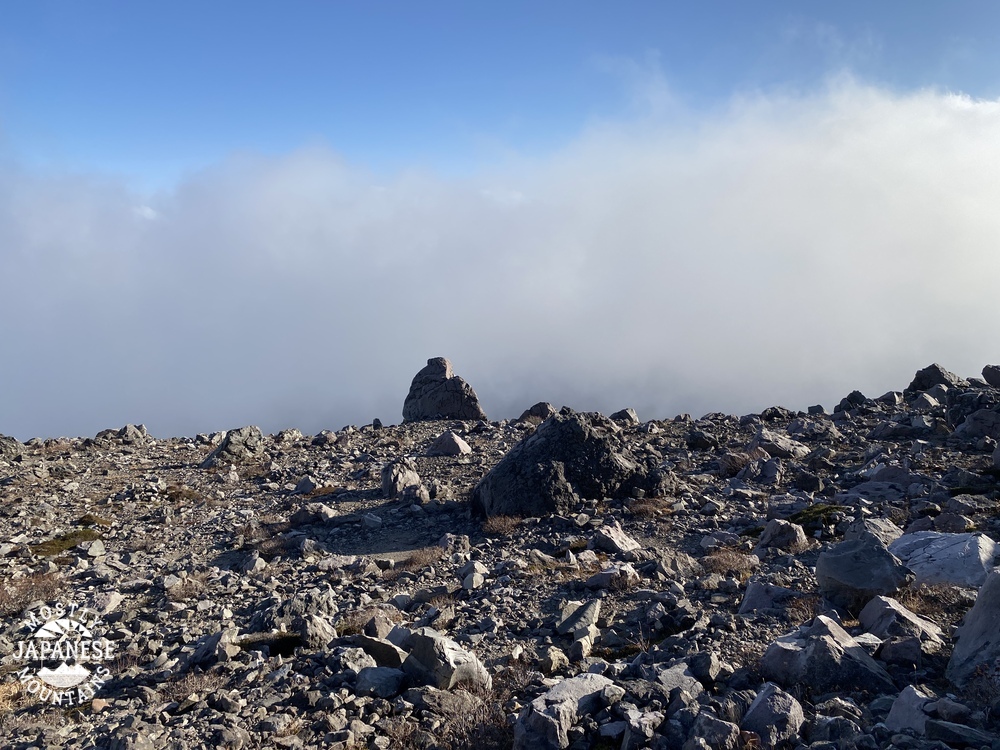
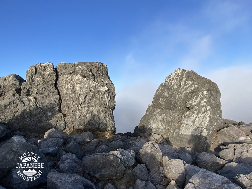
Technical considerations/difficulty: There are some steep spots, but most of this area is actually pretty easy. There are not a lot of chains or ropes and the trail is very well-maintained while still keeping a very natural feel. There are large areas of bamboo grass and I especially appreciated that they had trimmed the trail. Bamboo grass is nice to look at but it is really annoying if you have to wade through it.
Facilities: Not a lot. Once you are on the trail, you won't encounter any restrooms or commercial entities. There is one waterhole on a spur that I took but that water was un-drinkable--unless maybe one was dying of thirst. 😉 That would make it ok.
Thoughts/observations/recommendations: Boy, what a great area to hike. It's been on my list for quite a while. I am so glad I finally did it. It exceeded my hopes.
OK. Here are my reflections looking back on the day. I will start with the journey up from Tokyo . . .
This was something neat to come upon when pulling into one particular station on the way up. I think this might have been in Oyama.


No comments:
Post a Comment
Have a comment? Please, keep it clean.