
When last we saw our hero caveman, he was avoiding Doshi Mura in order to chase the blue skies in more picturesque places.
Today we pick up the tale as he returns to Doshi Mura to complete some un-finished business.
Here how things looked earlier this week.

. . . and here's how it looks now.

That looks better nicely tied-up like that, doesn't it?
The theme song of my last hike was "Blue Sky." For this one, it was this tune by B.J. Thomas.
The weather forecast looked good and the morning was nice. Driving into the mountains, most of the sky was blue except for some fog/clouds here and there swirling around some of the peaks. I wasn't worried. Meteorologists are amazing prognosticators, after all.

This is the Doshi River. Tsuribori means something like stocked fishing pond. Along rivers, it means an area where small pools have been created to facilitate fishing. At a tsuribori establishment, you can have the proprietors roast up your catch for you on the spot.

For this hike, I drove up the road connecting Doshi Village and Tsuri City, Route 24. I parked next to the tunnel and hiked from there. Up there it was more misty and foggy than it was lower down along the river.

For the first half of the hike or so, it was misty. It was a Blair Witch Project kind of day. I'm pretty sure I saw a bigfoot.


The weather was ok with me. This trail offers little in the way of long views and I like the fog and mist. Misty mountains remind me of J.R.R. Tolkien or Led Zeppelin.
This is the highest point on my journey, Mt. Mishotai. There is nothing to see from here. It's one of Yamanashi's 100 Famous Mountains. I'm not sure why. It's certainly not because of the view.

It wasn't long after I left this spot that the rain came. The rest of the day was like this.

It was quite literally like that. When I got off the trail a few hours later, it was still raining and I changed my clothes in the woods before getting on the scooter to head home.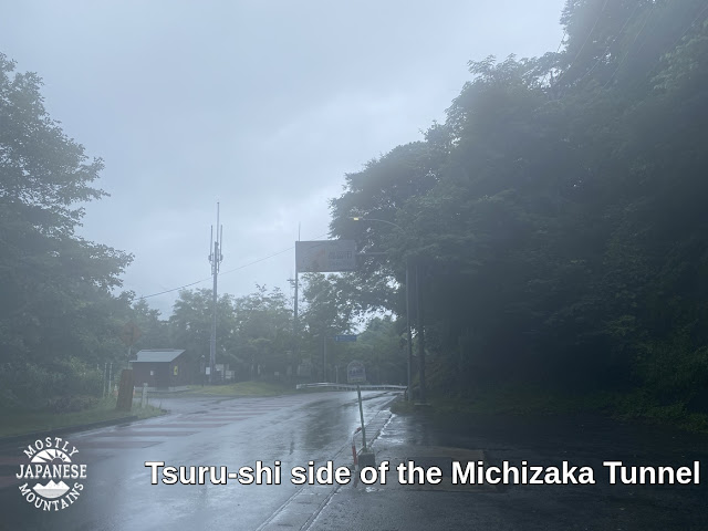


I hadn't driven more than 5 minutes down the hill toward Doshi Village before the rain had stopped and the temp. was over 32C (91 degrees f). Everyone I talked to said it was a hot sunny, day without a hint of precipitation. I really had been followed by a cloud like Charlie Brown.
Details of the hike
Start and finish: Michizaka Tunnel on Route 24.
Getting there: Bike. You could get there by bus from Okajimashokuhinkan which is a 5 minute walk from the Tsurubunkadaigakumae train station. (Although, I'm not sure why anyone would. The only reason I can see for doing this hike is if you are kind of O.C. about walking every trail like I am. 😂 )
Stats: Lowest point, 1,023 m. Highest (Mt. Mishotai) 1,681m. Change in elevation while climbing: 1,805m up and 1,816 down. Distance: 17.7km, just under 11 miles. Time: 7 hours.
Best part of the day: I only saw two people.
Recommendation: Skip this trail unless you are a gourmand of hiking trails like I am. I think my favorite mountain near this area is Mt. Shakushi which is to the west of Mishotai. You can reach that from one of the stations in Tsurushi. That has a kick-butt view of Fuji.
The general area:


That's all for today . . .
I'm still on vacation so I am sure I'll be out again soon.
Have a good one!

No comments:
Post a Comment
Have a comment? Please, keep it clean.