Yesterday I hiked from Kai Yamato Station in Koshu City to Sasago Station in Otsuki via Mt. Ojika, Mt. Ottate and Mt. Takigo. It was a nice hike.
This lamp is just around the corner from the Kaiyamato Station. Somehow it gave me a craving for Taco Bell.
My trek took me to the north of the Sasago (rail and road) Tunnels. You may recall there was an unfortunate tunnel collapse in 2012. That was in the Sasago Tunnel.
A few months back, I climbed over the tunnels from the southwest to the same area I hiked yesterday. Last time I started at the Sasago Pass (Denoted as "笹子峠" and a white pushpin on the map below). Yesterday's hike is the blue line.
The weather was nice and brisk starting out. 29 Fahrenheit is about -2 degrees Celsius.
Glimpsing the South Alps at the trailhead.
Approaching the top of Mt. Takigo
The top of Mt. Takigo.
Mt. Takigo is touted as having one of the best views of Mt. Fuji. I've been here 3 times and the weather has been bad each time so I have to take everyone's word for it. Thankfully my app could give me an idea of what I was missing.
It started to snow on top. That was fine with me. A chance of rain had been forecast. Snow was definitely more welcome than rain.
This warning was posted at both ends of the trail I'd planned on using to descend. I decided to choose a different path.
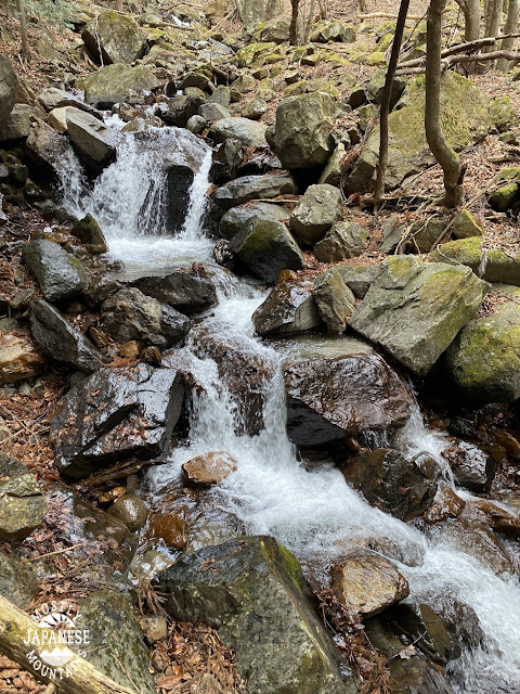
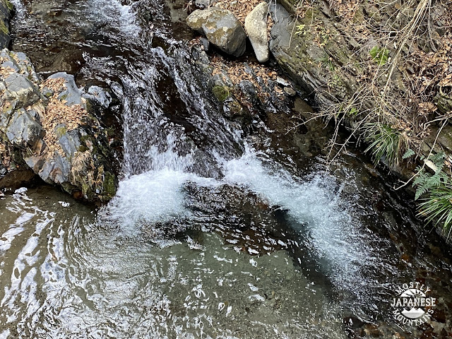
The last few miles of the descent were along the Ojika ("Big Deer") River. I love walking next to running water.
The last couple of miles is on pavement.
The entrance to the Sakura Forest. The gate is just to keep the animals in.
Not long after this point, I checked my watch and the train schedule. I realized that unless I picked up the pace I would have to wait about an hour for a train. I ran the last mile or so and made the next train with about 2 minutes to spare. Go me.
That's all for today. There are two more weeks left in this year so I should be back out there two more times before December 31st.
Happy Advent


Yesterday in Tachikawa around lunch time it almost snowed so not surprised you copped a bit around the summit. Also, good move not descending via that dotted trail as apparently, it’s a doozy, although climbing up is probably fine in better weather.
ReplyDeleteThat notice on the trail is what changed my mind. The Yama to Kogen map had several scary notes along that trail but that posting on the ground was the first time I'd ever seen just that type of warning.
DeleteHave a good one.