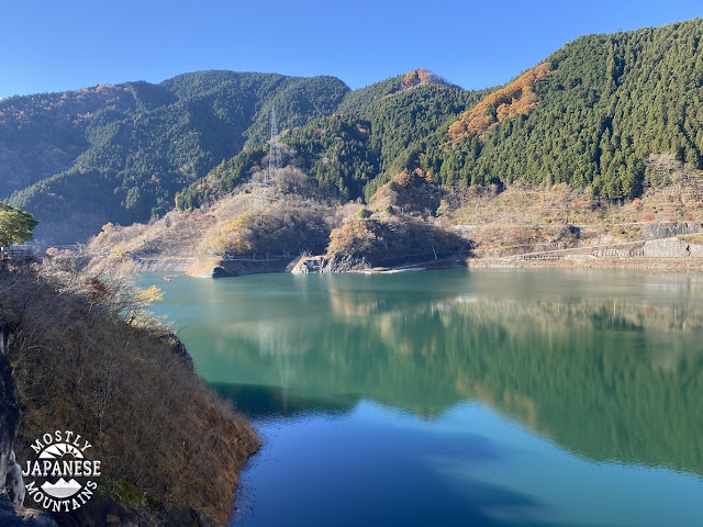
This week I had a couple of chances to get out. On Tuesday, I planned a trip to a few mountains in Chichibu City, Saitama. This picture shows what the weather was like. Nice.
Unfortunately my plans were thwarted. I planned on starting at Lake Chichibusakura and hiking about 21km (13 miles). I would have hit several mountains if I made the whole circuit but I decided to turn back early on in the hike. This map shows the original plan.
This is as far as I got.
The trail I was on shows up on one or two maps but not on others. It's not well-marked on the ground and I got to a point where it just seemed dangerous. The ridge I was walking on top of got really narrow at the top and really steep on the sides. Then the drop-off directly in front of me, too, became unnerving. I got the feeling you should get when your car's navigation system tells you to turn off a bridge into the ocean.
I took these few pictures near that point. Unfortunately, they don't quite capture the scene really well. I'm sorry, but when I took the pictures I was more concerned about getting home alive than in showing you a scary photo.
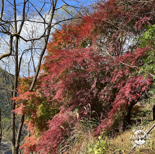
Aside from the hike being cut short, I did get to see some neat stuff and it was a beautiful day.
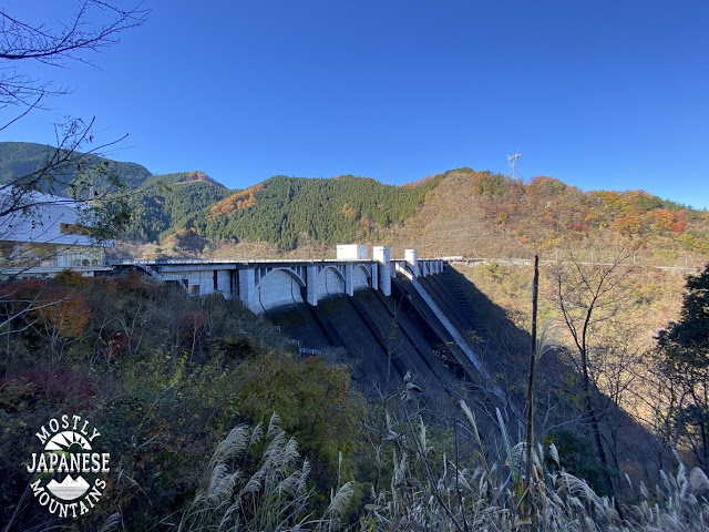
The lake I started at is the result of the damming of the Urayama River. On the way to the trailhead, I stopped by the Urayama Dam. I was glad to do that because I've driven by the sign for it 100 times but had never looked before.
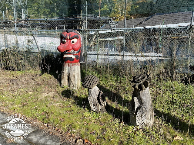
On the road, I saw some neat stuff. That's part of the pleasure of touring around the backstreets and country roads in Japan. There are random pieces of art and curios everywhere.
There is one stretch of road lined with woodcarvings. It's awesome.
This next picture was taken from the trail. I started next to that bridge.
It was a gorgeous day. The hiking part just ended too soon.
After I got out of the mountains, I stopped for lunch by the lake. I met this guy there.
There were actually about 10 monkeys around. They all scattered too soon for me to capture their images. Except for this guy. He just didn't give a care about me. Like a boss.
This is what it was like by the lake. (By the way, there is a boat ramp and you can fish there.)
Soon after I left the lake behind, I dropped into the Hashidate Limestone Caves (橋立鍾乳洞). I decided to pony up the 200 yen and go inside. I am sorry, dear reader, but they didn't allow pictures!
https://goo.gl/maps/8xxX7xZCjNHJeWLK9
http://www.city.chichibu.lg.jp.e.qg.hp.transer.com/4444.html
Speaking of limestone, Mt. Buko is one of the prime sources of limestone for use in concrete in downtown Tokyo. Check out one of my blogposts on hiking Mt. Buko here:
https://mymancaveisthemountains.blogspot.com/2021/03/mt-buko-tokyos-limestone-source.html
or here:
https://mymancaveisthemountains.blogspot.com/2021/06/mt-buko-again.html
These last pictures are of the immediate vicinity of the caves. It is near the end of one of the trails on Mt. Buko so it's a good spot for hikers to take a well-deserved break on their way home.
The last time I passed through here was after climbing Mt. Buko. We stopped into this place for coffee. It was absolutely superb.
Hashidatedo (橋立堂) Temple
I hope you enjoyed that. I liked that trip and I liked sharing it with you. If you want any advice on hiking in the area, don't be afraid to ask me. It is about 2~2.5 hours from Shinjuku to this area by train or by car. The nearest station to the dam is Urayamaguchi.
Come back again.


Looks pretty hardcore and good decision turning back when you did. Had a check of my maps and couldn't find any marked trails (nor a named ridge) from Kuriyama up to the main ridgeline. This Yamareco report shows part of the route you tried: https://www.yamareco.com/modules/yamareco/detail-2262875.html
ReplyDeleteHi David,
DeleteYeah, it doesn't show up on most maps. I did see this trail on the Compass app, though.
I have this one section of trail between Toridani and Mitsudoke that I haven't been able to connect yet and am bound and determined to do it. I'll try another approach. :-)
I got a kick out of the back and forth on your sleeping bag review. I'm a cheapskate with more muscle than brains. (And that isn't saying much.) I've been known to carry two sleeping bags when it's really cold.