Leeches suck. Literally. Shiroyama to Miyagase Dam. 9/2022.

I'm with Charlie Allnut.


Greetings cavedwellers of all shapes and sizes.


Yesterday I continued hiking in an area that I've been meaning to knock off for a while but never have gotten around to.  Last week I made it down to Lake Tsui (Tsuiko) and Shiroyama in the adjacent Kanagawa Prefecture.  (A prefecture is kind of like a state or province.)  Yesterday I continued on from Shiroyama down south as far as the Miyagase Dam.  There aren't a tremendous amount of mountains between those two points, but making that hike enables me to cross another trail off on the map.  I like to have un-broken lines of hiked trails on my maps.  I can trace my footprints from Tokyo Station to Mt. Oyama, to the top of Mt. Fuji and beyond, and to Mt. Mizugaki far to the west in Yamanashi.

Recently, a hiker friend of mine mentioned that she is hiking the Kanto Fureai Trail, a trail which, according to wikipedia "circumnavigates the entire Kanto Region . . ., stretching about 1,800km." To which I secretly thought, "Only one trail?  I want to do them all."  And, it's not even continuous.  There are parts of the trail that aren't even connected! 

I blame my friend Bill for this obsession with crossing trails off.  A few years ago, I mentioned to Bill that I had a topographical map on my wall and he asked me why I didn't trace on it in magic marker where I'd been.  At first, I didn't want to do it.  I had an aversion to writing in anything but pencil on a map.  Once I started, though, I couldn't stop.  Now the room where that first map was hung looks something like the RAF command center during the battle of the blitz.  It's covered with maps all tacked up next to each other.  The trails I've hiked (and roads I've ridden) are all traced out in bright marker and annotated with dates, distances and special items of notice,"Deer here.", "Snake!", "Missed bus.  Had to walk 6 more miles.", "Yes, bears do s&%$ in the woods.",  "Found monkey skull.",  "Got lost here."  

Mrs. Caveman, who is an artist, has been kind enough to add some artwork in appropriate places.  Come to think of it, it's only appropriate that she does some cave drawings for me.

I love those maps.  Thank God Mrs. Caveman puts up with that kind of decor. 

Let me get yesterday's details out of the way.

Location:  Kanagawa from Shiroyama to the Aikawa Park and the Miyagase Dam

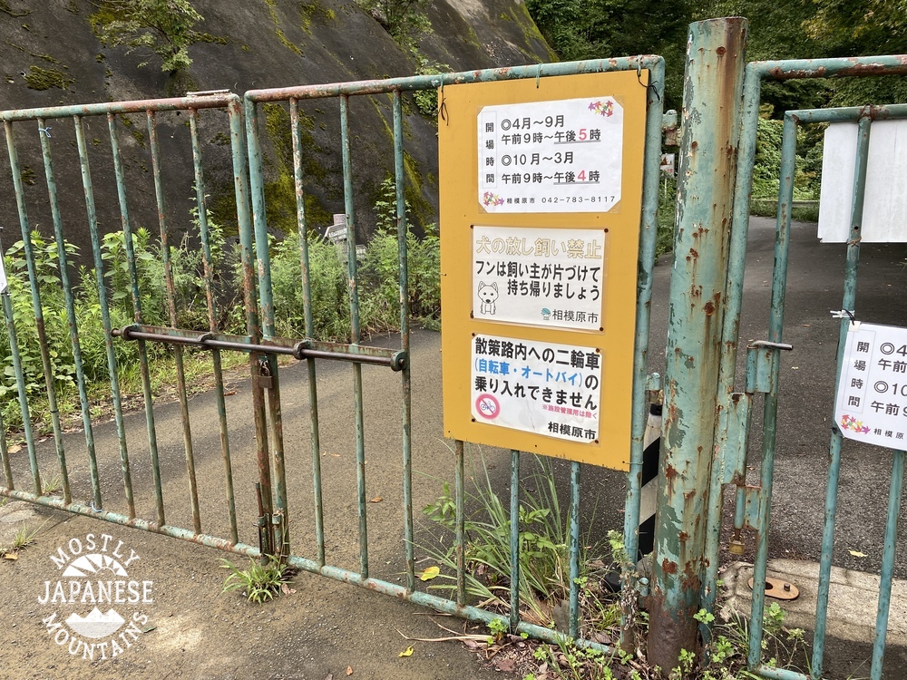
Starting and stopping point:  Tsuiko Shiroyama Park 県立津井湖城山公園

Mountains climbed:  It's charitable calling these little bumps mountains, but they are on the map as such:  Hinomori, Sakura, Amagoi 

Getting there/getting around:  20 minutes by bus from Hashimoto Station (Keio Sagamihara Line or JR Yokohama Line).  I drove.  There is free parking at the Tsuiko Shiroyama Park

Map:  Yama to Kogen Chizu # 28  Takao Jinba 高尾・陣馬

Weather Information:  Weather for nearby Mt. Bukka

Distance:  18.5km

Elevation:  The lowest elevation was something like 220 meters and the highest was only about 450.  Very low level stuff.  Despite this, I was surprised to see from my hiking app that I walked up 953 meters and back down 957 meters.  I guess that the length of the hike made this possible.

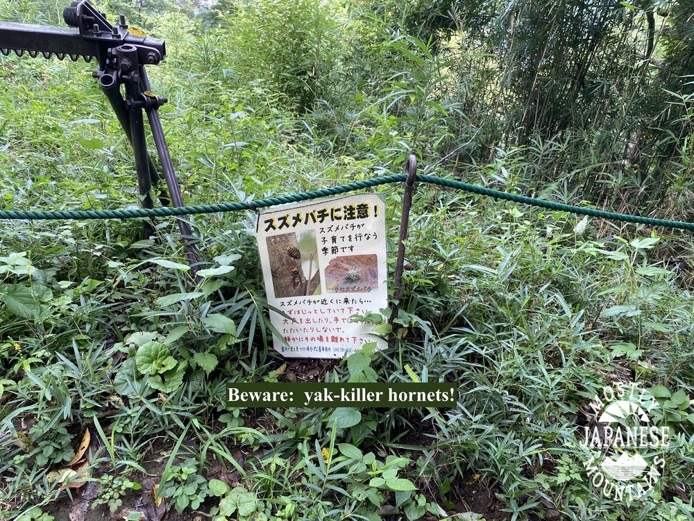
Technical considerations/difficulty:  This is a very gentle hike.  There's nothing steep.  There are no ropes, chains or ladders.  Much of it is on paved roads or at least dirt roads by farmer's fields.  The geography and the flora are not a problem.  The fauna, on the other hand . . . I got attacked by leeches somewhere along the way.  I noticed them sucking away on my legs around the tops of my shoes sometime after getting passed Mt. Amagoi.  Because of this, I decided to forgo walking through the woods on the return trip and stayed on the streets.  Leeches are an issue on this side of Kanagawa around Lake Miyagase.  (Fun fact, the name of the highest mountain in Kanagawa--Hirugatake--translates to "Leech Mountain" in English.)  

Facilities:  There are public toilets at the parks and there are ample vending machines on the streets on the way.  The Aikawa Park has ice cream.  There are a few convenience stores on the way, too.  I passed by the Ogino Bakery (オギノパン) which is famous for Tanzawa anpan 丹沢アンパン--rolls with red bean paste.  It might be worth checking out as this local delicacy is popular.  It was quite crowded yesterday.  I am a cheapskate, though.  Even though I've been by the place 5 or 6 times, I've never gone in.  Check it out and report back to us, ok?

Thoughts/observations/recommendations:  I'm glad I did this hike to make the connection of my footprints between Lake Tsuiko and Lake Miyagase.  By doing that, I can now trace an un-broken line from Hachioji to Mt. Oyama and indeed all over the Tanzawa area.  Once is enough, though.  It was not a spectacular hike.  Also, leeches suck.  I won't be going to this area in any season other than winter again.  If you want a long but not taxing walk, this would be attractive to you.  Also, this hike does take in a section of the Kanto Fureai Trail if you're one of those hikers.     

Here is what it looked like on the map and in animation.


Each one of these animations is created by my app.  They are all 30 seconds long, no matter how far you hike.  I like watching animations of a longish hikes like this one because the little guy seems to be sprinting.


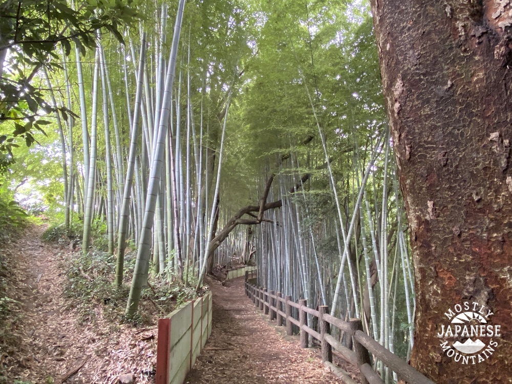
Let's look at some pictures.  Much of this hike was on the street.  


A trap for inoshishi (wild boar).


Mt. Amagoi.  ("Praying for Rain Mountain") The highest point of the day.


The trail through the woods was usually like this. 


The gentleness of the trail is deceiving.  Nature will try to kill you on this path.  It was when passing through this seemingly bucolic spot that I looked down to see this:


Pulling off my sock revealed this:


There were actually about 10 of the little vampiric creatures draining me of my life juices but I will spare you any more pictures.
  Except for new subscribers.  I'll give any new subscribers the gory ones.

Leeches don't hurt, by the way.  They have some kind of numbing ability and you don't even know they are there unless you see them.

This is the Miyagase Dam.  The last time I was here, the gate was closed because of COVID.  Keep this between us, but it's easy to climb over.  There's a cable car to get up to the dam, if you're too lazy to walk up.  (I'll bet Kanto Fureai hikers would probably take the cable car.)  There is also some type of visitor's center which, I'm sure, has educational stuff about dams.  There is a cafe and museum.  The cable car opens at 10.


Mt. Tanzawa is straight ahead.  Mt. Hirugatake--the leech mountain--is to the right of that.


There's even a sightseeing bort!


I took these at the Aikawa Park (神奈川県立あいかわ公園), which is right next to the dam.  This park is a great place for picnicking or  spending the day with kids.  There are tens of thousands of azaleas, a lot of open grassy spaces for throwing a ball around, an obstacle course for kids, a visitors center, snacks, etc.  It's a nice spot.  It didn't seem too crowded inside the park when I was there but I noticed there was a line of cars about 100 meters long waiting to get into the parking lot.


I've been to the park and by the dam a few times to climb up to nearby Mt. Bukka and the other mountains lining the ridge up to Mt. Oyama ("Big Mountain".)  I can see Oyama from my house.   It is the last big mountain on the left 20 miles to the south of where I live.  I really like being able to look at mountains in the distance and remember being there.  

There are some great views from those mountains and Lake Miyagase is beautiful to walk or drive along.  These are all pictures I took on past excursions between the dam and Mt. Oyama.


As I said, I decided to stick to pavement on the way back from the dam and I came across this farm as I walked along.  This is the Hattoribokujo.   


There are lots of animals, ice cream, sausage, etc.  I have a retired friend who often goes on daytrips with his wife and their dog so I told him about this place only to find that he'd already been there, twice in the last month.  He gave it glowing reviews.  Another place that would be nice to take kids or a date.


Even walking on the streets here in Japan is a natural/beautiful experience.  People really do have nice flower gardens.  I'll wind up with pictures I took along my way back.


Well, that's all for today.  Until next time.

Don't forget to subscribe if you haven't already.  Don't be afraid to comment, either.

Your caveman friend, Charlie Allnut.


Shiroyama, Tsuiko and Shiroyamako. Hike around Sagamihara City


Greetings cave critters.  I managed to dodge the raindrops long enough to get a short hike in yesterday.  I went to nearby Kanagawa Prefecture to knock off a hill that I've been meaning to take care of for a long time.  Mt. Shiro next to Lake Tsui in Sagamihara City is something I pass by frequently on my way to larger, better-known mountains in Yamanashi.  It is not big, but its location adjacent to the lake makes it interesting.  Since it's not very big, I decided to combine hiking that with hiking around another lake just to the north, Lake Shiroyama.  I have hiked down to that from the Takao area before so I was able to connect some more dots on my maps.  

Here are the statistics.  I'll get to some pictures later on.

Location: Sagamihara-shi, around Lake Tsukui (津久井湖). 

Starting and stopping point:  Mitsuiohashi Parking Lot  

Mountains climbed: I don't know that they deserve to be called mountains but the "peaks" were Enokubo (榎窪山 "mushroom+female genitalis/hollow+mountain"), Kusato (草戸山 "grass+door+mountain"), Otatsugoyama (牡龍籠 "Honorable male+dragon+cage"), and Shiroyama (城山 "castle+mountain").

Getting there/getting around:  There aren't any train stations nearby but there are lots of bus stops.  I went by scooter.  The area around Shiroyama Lake is a good destination for a bike ride.

Map:  Yama to Kogen Chizu #28 Takao Jinba 高尾・陣馬

Weather Information:  Sagamihara-shi weather (Japanese site)

Distance:  16km/10 miles

Elevation:  Pretty low.  Highest point was only about 380m.

Technical considerations/difficulty:  Just a walk in the park.

Facilities:  Lots.  Many public restrooms and rest stops on the trail.  

Thoughts/observations/recommendations: That was a nice way to kill a few hours.  There are many areas around here that would be good picnic spots.  Check out the local parks.You can fish on Lake Tsukui but not on Lake Shiroyama.  There are boat rentals around Lake Tsukui, too.


I started hiking at the lowest elevation of the day, where I'd parked my bike at the Mitsui Ohashi (Mitsui Big Bridge.)  From there I would first travel north, up and around Lake Shiroyama.  Then I would retrace my steps to the bridge, cross it and climb up to Shiroyama before finally returning to the bridge.


Soon after starting out towards Lake Shiroyama, I was able to look back across Lake Tsukui at Shiroyama.  That is the hill I would climb later in the day.


This was my first glimpse of Lake Shiroyama that morning.  Lake Shiroyama and Lake Tsukui are both dammed.  (Too proud to repent, I guess.)  Both of the lakes are sources of hydroelectricity.  


Looking back at the dam.  The shrubbery in the upper portion of the middle of the picture is shaped to spell "しろやまこ"--Lake Shiroyama.


The electric company only opens the gates from 9~4 or 9~5 daily.  
(They aren't hard to climb over, though, in case you're there outside of those hours.  A friend told me that.)


I never would have expected to see one of these in Japan!  This was next to the trail.


The Mitsuiohashi


All I could think of when I saw that green algae was the fish in the stream next to the nuke plant in the Simpson's TV show.  I'm sure it's fine, but I don't think I'd fish there.


I've lived in Japan something like 25 years and I still find bamboo exotic and beautiful.


After walking across the bridge and heading south for a little bit, I arrived at the Tsuiko Shiroyama Park.  


It's got some great flowers.


Visitor's Center

The playground is really cool.  I wanted to play on those things.

It seems a bit dangerous, though.  Every piece of playground equipment had this warning about the potential for burns.  One wonders why they installed equipment that could cause burns to little kids.  Who would build playground structures that could cause burns, anyway?  (Another thing I often wonder about here is why so many surfaces we drive or walk on here in Japan are so d###ed slippery!)

Speaking of danger, I saw but neglected to get a picture of the sign warning of mamushi.  (Japanese copperhead/pit viper.)  They're poisonous.

I did get a picture warning about the homicide hornets!

Those hornets (suzumebachi) really are dangerous.  They can kill.  They worry me more than bears in the woods.

I did get this delightful sign, too.


I've encountered leeches before.  Yuck.  That is nice they provide the salt.  If you find a leech attached to you, you can get it off by pouring salt on it.

Here's the view from the top of Shiroyama.


The first "mountain" I climbed today, 榎窪山, is in the middle of the picture.


That's all for today.  More in the next week or so.  

Stay dry.  Don't forget to subscribe if you haven't already.  Leave a comment or question if you like.  I'm happy to give you some advice on hiking in Japan if you have any questions.  I know how bewildering this place can be and am happy to pass on anything I've learned.